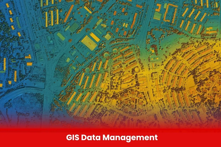
Gis Data Management
BURRAQ UK offers efficient GIS data management solutions to collect, store, and analyze spatial data, supporting smart decision-making across various sectors.
Aim Of Gis Data Management
To ensure accurate, organized, and accessible spatial data that supports effective planning, analysis, and decision-making across projects and industries.
Course Overview
Gis Data Management
Total Modules 8
Training Credits 16
Directed Learning Hours (DLH) 80
Course Code BUK1701
- Educational Background:
Minimum qualification of a Diploma or Bachelor’s degree in Geography, Geoinformatics, Environmental Science, Civil Engineering, IT, or a related field. - Technical Skills:
Basic knowledge of GIS software (e.g., ArcGIS, QGIS), mapping, and spatial data handling.
Computer Literacy:
Familiarity with data entry, MS Office, and digital tools.
| Course Code | Curriculum Title | Credit | DLH |
|---|---|---|---|
| BUK1701-1 | Introduction to GIS and Spatial Data | 2 | 10 |
| BUK1701-2 | Data Collection Methods | 2 | 10 |
| BUK1701-3 | GIS Software Tools | 2 | 10 |
| BUK1701-4 | Data Quality and Metadata Management | 2 | 10 |
| BUK1701-5 | Spatial Analysis and Visualization | 2 | 10 |
| BUK1701-6 | Database Management for GIS | 2 | 10 |
| BUK1701-7 | Applications of GIS in Industry | 2 | 10 |
| BUK1701-8 | Data Sharing, Security, and Ethics | 2 | 10 |
Objectives
- Introduction to GIS and Spatial Data
- Data Collection Methods (GPS, Remote Sensing)
- Geospatial Data Formats and Storage
- GIS Software Tools (ArcGIS, QGIS Basics)
- Data Quality and Metadata Management
- Spatial Analysis and Visualization
- Database Management for GIS
- GIS Project Planning and Implementation
- Applications of GIS in Industry
- Data Sharing, Security, and Ethics
- Students and graduates in Geography, Geoinformatics, Environmental Science, IT, Engineering, or related fields.
- Professionals seeking to upgrade skills in GIS and spatial data handling.
- Individuals interested in careers in urban planning, logistics, environmental management, or surveying.
- Anyone with basic computer skills and a passion for working with geographic data.
- All Modules within this qualification are assessed internally by the approved training Centre and externally verified by BURRAQ UK. The program uses a criterion-referenced assessment approach to ensure that learners successfully meet all required learning outcomes.
- A Pass in any unit is granted only when the learner submits valid, reliable, and authentic evidence that demonstrates achievement of the assessment criteria. The Assessor is responsible for reviewing this evidence and confirming that the learner has attained the expected standard.
- To guarantee fairness, transparency, and consistency, assessors are required to maintain a detailed audit record, clearly documenting the basis of their assessment decisions in line with quality assurance requirements.