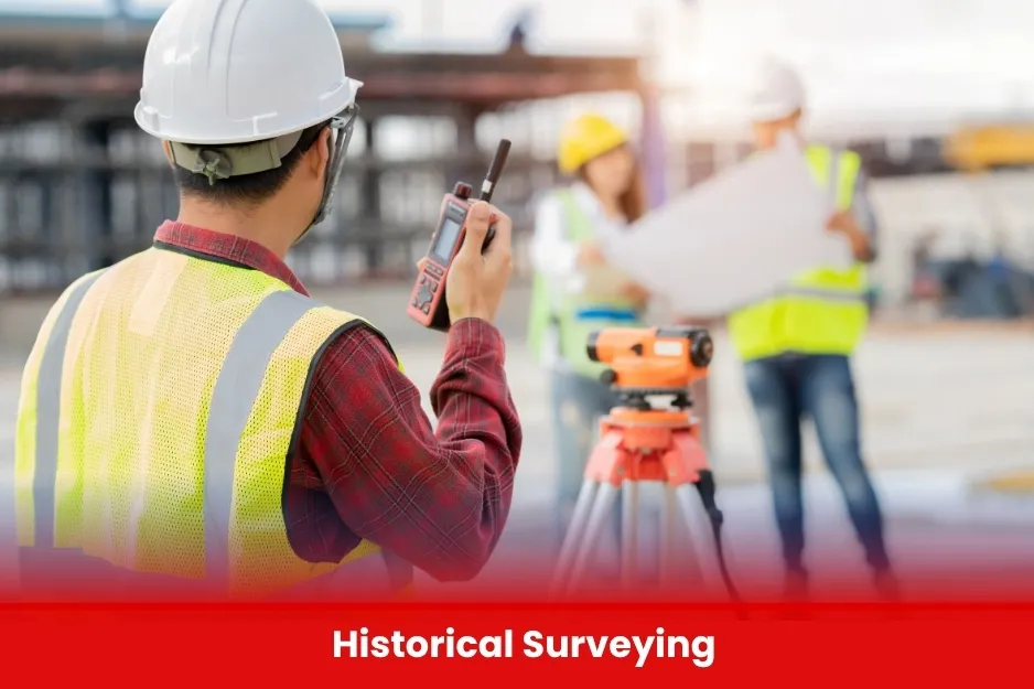
Historical Surveying
Historical surveying involves the precise mapping and documentation of heritage sites, monuments, and ancient structures. BURRAQ UK uses modern tools like UAVs, laser scanning, and GIS to preserve cultural landmarks through accurate and non-invasive surveying methods.
Aim of Historical Surveying
To preserve and document cultural heritage sites through accurate, modern surveying techniques, enabling their protection, restoration, and study for future generations.
Course Overview
Historical Surveying
Total Modules 6
Training Credits 18
Directed Learning Hours (DLH) 90
Course Code BUK1696
- Students or graduates of Surveying, Civil Engineering, Architecture, or Archaeology
- Professionals working in heritage, construction, or mapping fields
- Basic knowledge of surveying tools (Total Station, GPS, UAVs)
- Interest in historical site documentation and preservation
| Course Code | Curriculum Title | Credit | DLH |
|---|---|---|---|
| BUK1696-1 | Introduction to Historical Surveying | 3 | 15 |
| BUK1696-2 | Traditional Surveying Methods | 3 | 15 |
| BUK1696-3 | Modern Surveying Technologies in Heritage Work | 3 | 15 |
| BUK1696-4 | Photogrammetry and Image-Based Modeling | 3 | 15 |
| BUK1696-5 | GIS and Heritage Mapping | 3 | 15 |
| BUK1696-6 | Field Work and Site Documentation | 3 | 15 |
Module 1: Introduction to Historical Surveying
- Importance of surveying in heritage documentation
- Overview of historical and archaeological sites
- Ethics and preservation principles
Module 2: Traditional Surveying Methods
- Chain, compass, plane table, and leveling methods
- Recording and sketching techniques
- Comparing old vs. modern practices
Module 3: Modern Surveying Technologies in Heritage Work
- Total Station and GNSS for historical sites
- UAV (drone) surveying basics
- Laser scanning and 3D documentation
Module 4: Photogrammetry and Image-Based Modeling
- Principles of photogrammetry
- Creating 3D models from photographs
- Software tools (e.g., Agisoft Metashape, Pix4D)
Module 5: GIS and Heritage Mapping
- Introduction to GIS for cultural assets
- Georeferencing historical maps
- Creating layers and thematic maps
Module 6: Field Work and Site Documentation
- Practical surveying of a historical site
- Data collection and field sketching
- Safety and site handling procedures
Module 7: Data Processing and Reporting
- Processing field data into maps and models
- Creating heritage documentation reports
- Archiving and data sharing standards
- Students of Surveying, Civil Engineering, Architecture, Archaeology, or Heritage Studies
- Professionals working in construction, mapping, heritage conservation, or archaeology
- Researchers and educators in geospatial or historical documentation fields
- UAV/drone operators interested in cultural heritage applications
- Heritage enthusiasts with basic knowledge of surveying tools and techniques
- All Modules within this qualification are assessed internally by the approved training Centre and externally verified by BURRAQ UK. The program uses a criterion-referenced assessment approach to ensure that learners successfully meet all required learning outcomes.
- A Pass in any unit is granted only when the learner submits valid, reliable, and authentic evidence that demonstrates achievement of the assessment criteria. The Assessor is responsible for reviewing this evidence and confirming that the learner has attained the expected standard