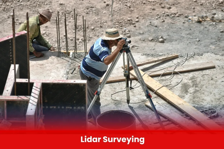
Lidar Surveying
Lidar Surveying uses laser technology to create accurate 3D maps of land and structures. BURRAQ UK provides training and solutions using LiDAR to enhance precision and efficiency in surveying projects.
Aim Of Lidar Surveying
To train professionals in the effective use of Lidar technology for precise data collection, processing, and analysis to support advanced surveying and mapping projects.
Course Overview
Lidar Surveying
Total Modules 6
Training Credits 18
Directed Learning Hours (DLH) 86
Course Code BUK1699
- Diploma or degree in Surveying, Geomatics, Civil Engineering, Geography, or related fields
- Basic knowledge of surveying principles and GPS/GNSS technology
- Familiarity with computers and data processing software
- Open to professionals, students, and technicians interested in advanced surveying techniques
- Prior experience with remote sensing or surveying is an advantage but not mandatory
| Course Code | Curriculum Title | Credit | DLH |
|---|---|---|---|
| BUK1699-1 | Introduction to Lidar Technology | 3 | 16 |
| BUK1699-2 | Lidar Data Acquisition | 3 | 16 |
| BUK1699-3 | Point Cloud Processing | 3 | 16 |
| BUK1699-4 | Integration with GIS and CAD | 3 | 16 |
| BUK1699-5 | Applications of Lidar Surveying | 3 | 16 |
| BUK1699-6 | Practical Fieldwork and Project | 3 | 16 |
Module 1: Introduction to Lidar Technology
- Basics of LiDAR principles and components
- Types of LiDAR systems (terrestrial, airborne, mobile)
Module 2: Lidar Data Acquisition
- Planning Lidar surveys
- Operating Lidar equipment and UAV integration
Module 3: Point Cloud Processing
- Data cleaning and filtering
- Registration and alignment of point clouds
Module 4: Data Analysis and Modeling
- Creating digital elevation models (DEM) and 3D models
- Extracting features and measurements
Module 5: Integration with GIS and CAD
- Importing LiDAR data into GIS/CAD software
- Mapping and visualization techniques
Module 6: Applications of Lidar Surveying
- Use cases in urban planning, forestry, infrastructure, and environmental monitoring
Module 7: Practical Fieldwork and Project
- Hands-on data collection and processing
- Final project with real-world data
- Surveyors and Geomatics professionals
- Civil and Environmental Engineers
- GIS Specialists and Remote Sensing Analysts
- Technicians and Field Operators interested in LiDAR technology
- Students and graduates in surveying, geomatics, engineering, or related fields
- Professionals seeking to upgrade skills in advanced surveying techniques
- All Modules within this qualification are assessed internally by the approved training Centre and externally verified by BURRAQ UK. The program uses a criterion-referenced assessment approach to ensure that learners successfully meet all required learning outcomes.
- A Pass in any unit is granted only when the learner submits valid, reliable, and authentic evidence that demonstrates achievement of the assessment criteria. The Assessor is responsible for reviewing this evidence and confirming that the learner has attained the expected standard.
- To guarantee fairness, transparency, and consistency, assessors are required to maintain a detailed audit record, clearly documenting the basis of their assessment decisions in line with quality assurance requirements.