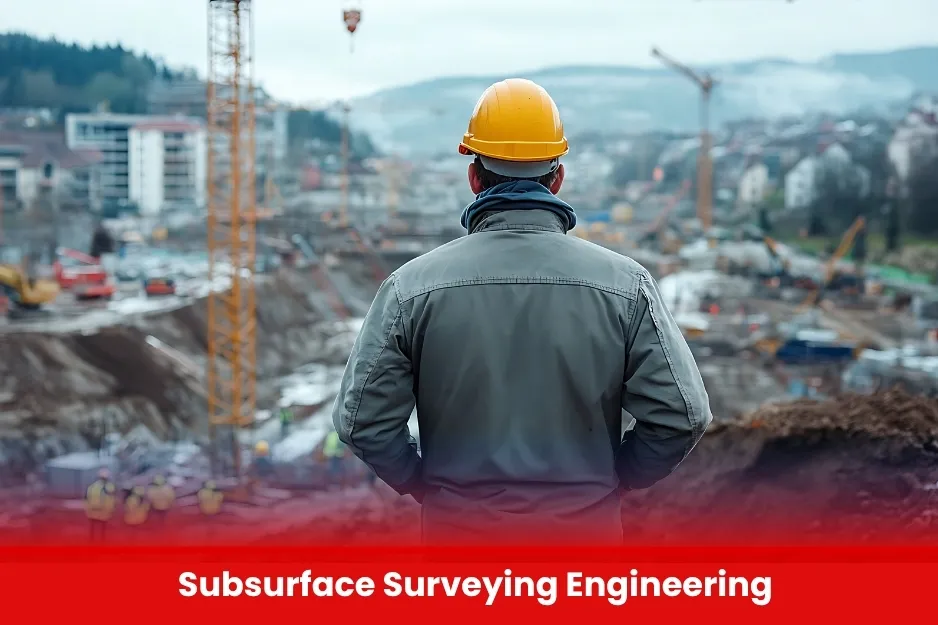
Subsurface Surveying Engineering
Subsurface Surveying Engineering focuses on detecting and mapping underground features such as utilities, pipelines, voids, and geological formations. It plays a vital role in urban development, construction planning, infrastructure safety, and environmental assessments.

Aim of Subsurface Surveying Engineering
To equip professionals with practical skills and technical knowledge for detecting, mapping, and analyzing underground structures using advanced subsurface surveying technologies, ensuring safe and efficient construction and infrastructure planning.
Course Overview
Subsurface Surveying Engineering
Total Modules 6
Training Credits 24
Directed Learning Hours (DLH) 96
Course Code BUK1700
- Diploma or Degree in Civil Engineering, Geomatics, Geophysics, Surveying, or related fields.
- Basic understanding of surveying principles and geotechnical concepts
- Familiarity with construction practices or underground utility work is preferred
- Open to students, technicians, and industry professionals involved in infrastructure and land development
| Course Code | Curriculum Title | Credit | DLH |
|---|---|---|---|
| BUK1700-1 | Introduction to Subsurface Surveying | 4 | 16 |
| BUK1700-2 | Ground Penetrating Radar (GPR | 4 | 16 |
| BUK1700-3 | Electromagnetic Detection Techniques | 4 | 16 |
| BUK1700-4 | Geophysical Methods in Surveying | 4 | 16 |
| BUK1700-5 | Subsurface Data Processing & Analysis | 4 | 16 |
| BUK1700-6 | Safety and Regulatory Considerations | 4 | 16 |
Module 1: Introduction to Subsurface Surveying
- Importance and applications
- Challenges in underground detection
- Overview of subsurface hazards and risks
Module 2: Ground Penetrating Radar (GPR)
- Principles of GPR technology
- Equipment handling and field procedures
- Data collection and interpretation
Module 3: Electromagnetic Detection Techniques
- Use of cable/pipe locators
- Frequency and depth settings
- Limitations and best practices
Module 4: Geophysical Methods in Surveying
- Seismic, resistivity, and magnetometry basics
- When and where to use geophysical techniques
- Data accuracy and validation
Module 5: Subsurface Data Processing & Analysis
- Processing GPR and EM data
- Integration with CAD/GIS platforms
- 2D & 3D subsurface mapping
Module 6: Safety and Regulatory Considerations
- Utility strike avoidance
- Relevant surveying codes and standards
- Legal implications in underground surveys
Module 7: Practical Field Training
- Hands-on use of GPR and locators
- Real-world data collection
- Case studies and reporting
- Surveyors and Geospatial Technicians involved in infrastructure or construction projects
- Civil Engineers and Site Supervisors working on underground utilities or excavation
- Geophysicists and Environmental Engineers handling subsurface assessments
- Utility Mapping Professionals and GPR Operators
- Students, Diploma Holders, or Graduates in Civil, Geomatics, or related technical fields
- All Modules within this qualification are assessed internally by the approved training Centre and externally verified by BURRAQ UK. The program uses a criterion-referenced assessment approach to ensure that learners successfully meet all required learning outcomes.
- A Pass in any unit is granted only when the learner submits valid, reliable, and authentic evidence that demonstrates achievement of the assessment criteria. The Assessor is responsible for reviewing this evidence and confirming that the learner has attained the expected standard.
- To guarantee fairness, transparency, and consistency, assessors are required to maintain a detailed audit record, clearly documenting the basis of their assessment decisions in line with quality assurance requirements.
