
Train the Trainer – Land Surveying Program
BURRAQ UK proudly introduces its “Train the Trainer” program in Land Surveying, designed to build a qualified pool of instructors and technical professionals capable of delivering high-quality, industry-relevant training in geospatial and surveying technologies.
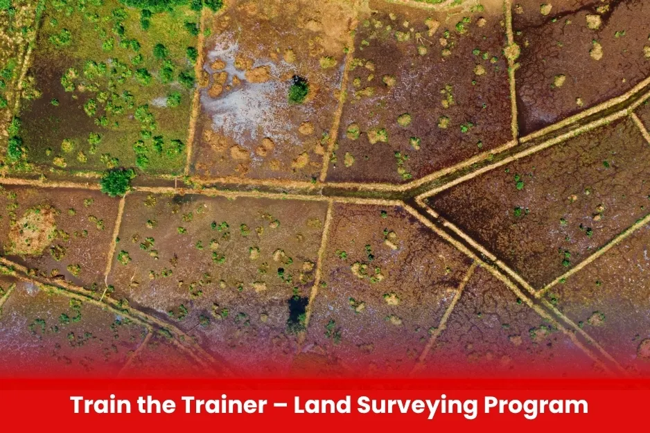
Aim Train the Trainer – Land Surveying Program
To train skilled land surveying professionals to become effective trainers, capable of delivering high-quality instruction and advancing geospatial education through BURRAQ UK’s expertise.
Course Overview
Train the Trainer – Land Surveying Program
Total Modules 6
Training Credits 36
Directed Learning Hours (DLH) 72
Course Code BUK1694
- Minimum Bachelor’s degree in Surveying, Geomatics, Civil Engineering, Geospatial Science, or related fields.
- At least 2 years of professional experience in land surveying or geospatial data collection.
- Basic knowledge of surveying instruments such as Total Stations, GNSS/GPS, and GIS software.
- Strong communication skills and willingness to learn training methodologies.
- For trainers: prior teaching or mentoring experience is preferred but not mandatory.
- Ability to commit to the full duration of the training program.
| Course Code | Curriculum Title | Credit | DLH |
|---|---|---|---|
| BUK1694-1 | Fundamentals of Land Surveying | 3 | 12 |
| BUK1694-2 | Advanced Surveying Instruments & Techniques | 3 | 12 |
| BUK1694-3 | Data Processing and GIS Integration | 3 | 12 |
| BUK1694-4 | Training Methodologies and Adult Learning Principles | 3 | 12 |
| BUK1694-5 | Curriculum Development and Assessment Techniques | 3 | 12 |
| BUK1694-6 | Practical Training Delivery and Field Exercises | 3 | 12 |
Module 1: Fundamentals of Land Surveying
- Introduction to surveying concepts and principles
- Types of surveys and their applications
- Overview of surveying equipment and technology
Module 2: Advanced Surveying Instruments & Techniques
- Total Station operation and data handling
- GNSS/GPS surveying methods
- UAV-based aerial surveying basics
- Digital leveling and terrain modeling
Module 3: Data Processing and GIS Integration
- Survey data processing and accuracy checks
- Introduction to GIS and CAD for surveying
- Mapping and spatial analysis
Module 4: Training Methodologies and Adult Learning Principles
- Learning theories and styles
- Effective communication and presentation skills
- Designing lesson plans and training materials
Module 5: Curriculum Development and Assessment Techniques
- Structuring a training program
- Developing practical exercises and assessments
- Evaluating trainee performance
Module 6: Practical Training Delivery and Field Exercises
- Conducting classroom and hands-on training sessions
- Managing field demonstrations and surveys
- Troubleshooting common challenges during training
Module 7: Project and Evaluation
- Designing and delivering a mini training session
- Peer review and feedback
- Final evaluation and certification
- Experienced Land Surveyors looking to develop training and mentoring skills.
- Geomatics and Civil Engineering Professionals with practical surveying experience.
- Academics and Educators teaching surveying, geomatics, or related disciplines.
- UAV Operators and GIS Specialists seeking to expand into land surveying training.
- Technical Trainers in construction, infrastructure, or environmental sectors.
- Graduate Students in surveying or geospatial sciences aspiring to become trainers.
- Military or Defense Personnel involved in geospatial intelligence and land mapping.
- All Modules within this qualification are assessed internally by the approved training Centre and externally verified by BURRAQ UK. The program uses a criterion-referenced assessment approach to ensure that learners successfully meet all required learning outcomes.
A Pass in any unit is granted only when the learner submits valid, reliable, and authentic evidence that demonstrates achievement of the assessment criteria. The Assessor is responsible for reviewing this evidence and confirming that the learner has attained the expected standard.